Culebra Land
Located 20 miles (32 km) east of Puerto Rico and 15 miles (24km) west of Saint Thomas, its dimensions are about 7miles (11 km) long and 4miles (5 km) wide. All distances on highways are given in km.
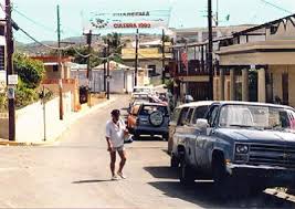
The capital is Dewey, which contains most of the approximately 2000 year round residents. The municipality of Culebra includes all surrounding islets: Cayo Norte, Cayo Ballena, Cayos Geniqu?, Culebrita, Arrecife Culebrita, Cayo de Luis Pe?a (named after its second owner), Las Hermanas, El Mono, Cayo Lobo, Cayo Lobito, Cayo Botijuela, Alcarraza, Los Gemelos, and Piedra Stevens. In 1901 the Culebra National Wildlife Refuge was established.
With the outbreak of WWII in 1939, the Culebra Archipelago became the primary gunnery and bombing practice site for the U.S. Navy. It continued to be used for these purposes until 1975.
 ?1992 Peter Johnson |
Luis Pe?a is the second largest cay near Culebra. Many sandy beaches can be found on this cay. A wonderful coral reef located on the SW side is perfect for snorkeling.
Culebra has sparse, thin soils and no permanent rivers or streams, water is obtained from a pipeline that comes from Puerto Rico via Vieques.